Skip to Main Content

LCEO MAPROOM SURVEYS

EMAIL LEGAL DESCRIPTION PRE APPROVALS TO:

MAPROOM@LOGANCOUNTYOHIO.GOV

ADDRESS:

COURT HOUSE ANNEX

100 S. MADRIVER, SUITE B

BELLEFONTAINE, OH 43311

PHONE:(937) 599-7230

LOGAN COUNTY GIS MAP

  • BELLEFONTAINE
  • BLOOMFIELD
  • BOKESCREEK
  • HARRISON
  • JEFFERSON

  • LAKE
  • LIBERTY
  • MCARTHUR
  • MIAMI
  • MONROE

  • PERRY
  • PLEASANT
  • RICHLAND
  • RUSHCREEK
  • STOKES

  • UNION
  • WASHINGTON
  • ZANE
  • SURVEY NUMBER INDEX

ROAD INFORMATION

  • Road Right of Way Widths
  • Field Books
  • X-Files
  • L-Files (State Plans)

RAILROAD INFORMATION

  • Railroad Plans R-Files

SUBDIVISIONS - ADDITIONS - ANNEXES

  • Plat Index
  • S-Files
  • A-Files
  • J-Files
  • Plat Book A vol 2
  • Plat Book B vol 2
  • Plat Book C vol 3

CEMETERY INFORMATION

  • Cemetery Index
  • Veteran Grave Registration Index
  • Cemetery Map
  • Veteran Grave Registration Files
  • Cemetery Files

EARLY SURVEYS

  • Original Virginia Military Survey
  • Nancy Stewart Section
  • Original Between the Miami's Surveys
  • Record of Surveys Book "A"
  • Plat Book 1A
  • JC Wonders Line
  • Indian Lake Reservoir Lands
  • Record of Surveys Book "B"
  • County Surveyor's Record Book "C"
  • County Surveyor's Record Book "D"
  • 1864 Stone and Titus "Logan County Map"
  • 1891 Ohio Railroad Map
  • 1855 Ohio Map
  • 1853 Ohio Map
  • Original Section Corners(1836)

TAX BOOKS

  • 1870 Tax Books
  • 1880 Tax Books
  • 1890 Tax Books
  • 1910 Tax Books
  • 1920 Tax Books
  • 1942 Tax Books
  • 1954 Tax Books
  • 1958 Tax Books
  • 1966 Tax Books
  • 1972 Tax Books
  • 1977 Tax Books
  • Bellefontaine Tax Books

MISCELLANEOUS

  • Fire District Map
  • F-Files
  • School Districts
  • County Precincts
  • Bellefontaine Precincts
  • Bellefontaine Tax District
  • County Tax Districts
  • Logan County GIS Files
  • *How to Report an Address Problem Affecting GPS Devices, Apps, and Maps*

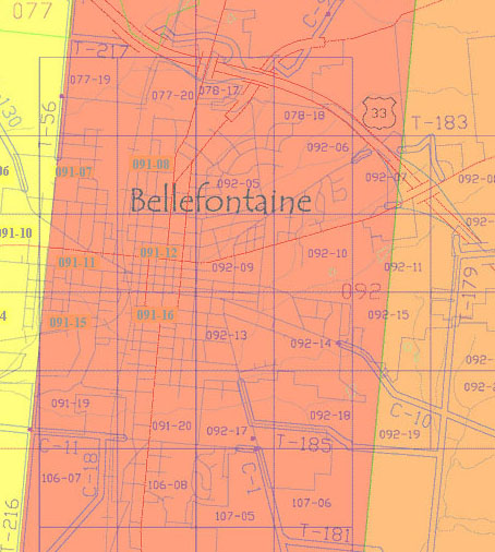
Bellefontaine Township

  • πŸ—ΊοΈBellefontaine Survey Index Map

Bellefontaine Aerial Tax Map

Bellefontaine Aerial Tax Map
  • πŸ“Bellefontaine R-Files

Bloomfield Township

  • πŸ—ΊοΈBloomfield Survey Index Map

Bloomfield Township Aerial Tax Map

Bloomfield Township Aerial Tax Map
  • πŸ“Bloomfield R-Files

Bokescreek Township

  • πŸ—ΊοΈBokescreek Survey Index Map

Bokescreek Township Aerial Tax Map

Bokescreek Township Aerial Tax Map
  • πŸ“Bokescreek R-Files
  • πŸ“Ridgeway Village R-Files
  • πŸ“West Mansfield Village R-Files

Harrison Township

  • πŸ—ΊοΈHarrison Survey Index Map

Harrison Township Aerial Tax Map

Harrison Township Aerial Tax Map
  • πŸ“Harrison R-Files

Jefferson Township

  • πŸ—ΊοΈJefferson Survey Index Map

Jefferson Township Aerial Tax Map

Jefferson Township Aerial Tax Map
  • πŸ“Jefferson R-Files
  • πŸ“Zanesfield Village R-Files

Lake Township

  • πŸ—ΊοΈLake Survey Index Map

Lake Township Aerial Tax Map

Lake Township Aerial Tax Map
  • πŸ“Lake R-Files

Liberty Township

  • πŸ—ΊοΈLiberty Survey Index Map

Liberty Township Aerial Tax Map

Liberty Township Aerial Tax Map
  • πŸ“Liberty R-Files
  • πŸ“West Liberty Village R-Files

McArthur Township

  • πŸ—ΊοΈMcArthur Survey Index Map

McArthur Township Aerial Tax Map

McArthur Township Aerial Tax Map
  • πŸ“McArthur R-Files
  • πŸ“Huntsville Village R-Files

Miami Township

  • πŸ—ΊοΈMiami Survey Index Map

Miami Township Aerial Tax Map

Miami Township Aerial Tax Map
  • πŸ“Miami R-Files
  • πŸ“DeGraff Village R-Files
  • πŸ“Quincy Village R-Files

Monroe Township

  • πŸ—ΊοΈMonroe Survey Index Map

Monroe Township Aerial Tax Map

Monroe Township Aerial Tax Map
  • πŸ“Monroe R-Files

Perry Township

  • πŸ—ΊοΈPerry Survey Index Map

Perry Township Aerial Tax Map

Perry Township Aerial Tax Map
  • πŸ“Perry R-Files
  • πŸ“East Liberty Village R-Files

Pleasant Township

  • πŸ—ΊοΈPleasant Survey Index Map

Pleasant Township Aerial Tax Map

Pleasant Township Aerial Tax Map
  • πŸ“Pleasant R-Files
  • πŸ“Valley Hi Village R-Files

Richland Township

  • πŸ—ΊοΈRichland Survey Index Map

Richland Township Aerial Tax Map

Richland Township Aerial Tax Map
  • πŸ“Richland R-Files
  • πŸ“Belle Center Village R-Files

Rushcreek Township

  • πŸ—ΊοΈRushcreek Survey Index Map

Rushcreek Township Aerial Tax Map

Rushcreek Township Aerial Tax Map
  • πŸ“Rushcreek R-Files
  • πŸ“Rushsylvania Village R-Files

Stokes Township

  • πŸ—ΊοΈStokes Survey Index Map

Stokes Township Aerial Tax Map

Stokes Township Aerial Tax Map
  • πŸ“Stokes R-Files
  • πŸ“Lakeview Village R-Files
  • πŸ“Russells Point Village R-Files

Union Township

  • πŸ—ΊοΈUnion Survey Index Map

Union Township Aerial Tax Map

Union Township Aerial Tax Map
  • πŸ“Union R-Files

Washington Township

  • πŸ—ΊοΈWashington Survey Index Map

Washington Township Aerial Tax Map
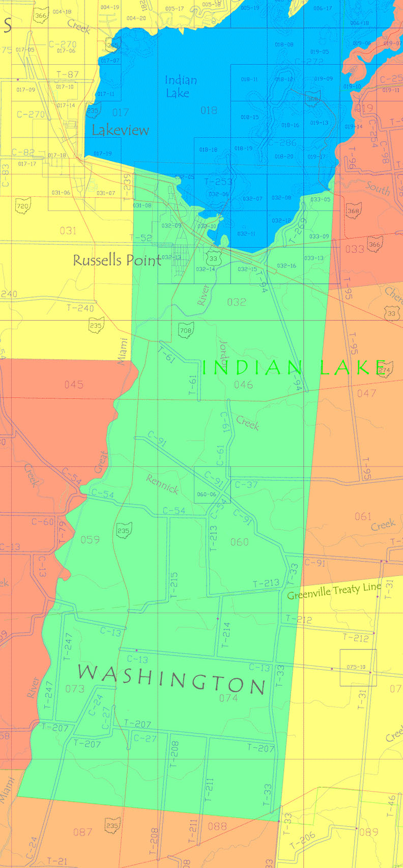
Washington Township Aerial Tax Map
  • πŸ“Washington R-Files

Zane Township

  • πŸ—ΊοΈZane Survey Index Map

Zane Township Aerial Tax Map

Zane Township Aerial Tax Map
  • πŸ“Zane R-Files
  • πŸ“Middleburg Village R-Files
  • Follow us on X
  • Follow us on Instagram
  • Follow us on Facebook
  • Send Maproom an Email
  • Maproom Location on Google Maps

© 2026 LCEO. Design: HTML5 UP.